Process your imagery with photogrammetry
Turn your aerial imagery into actionable deliverables with our fast, turnkey service.
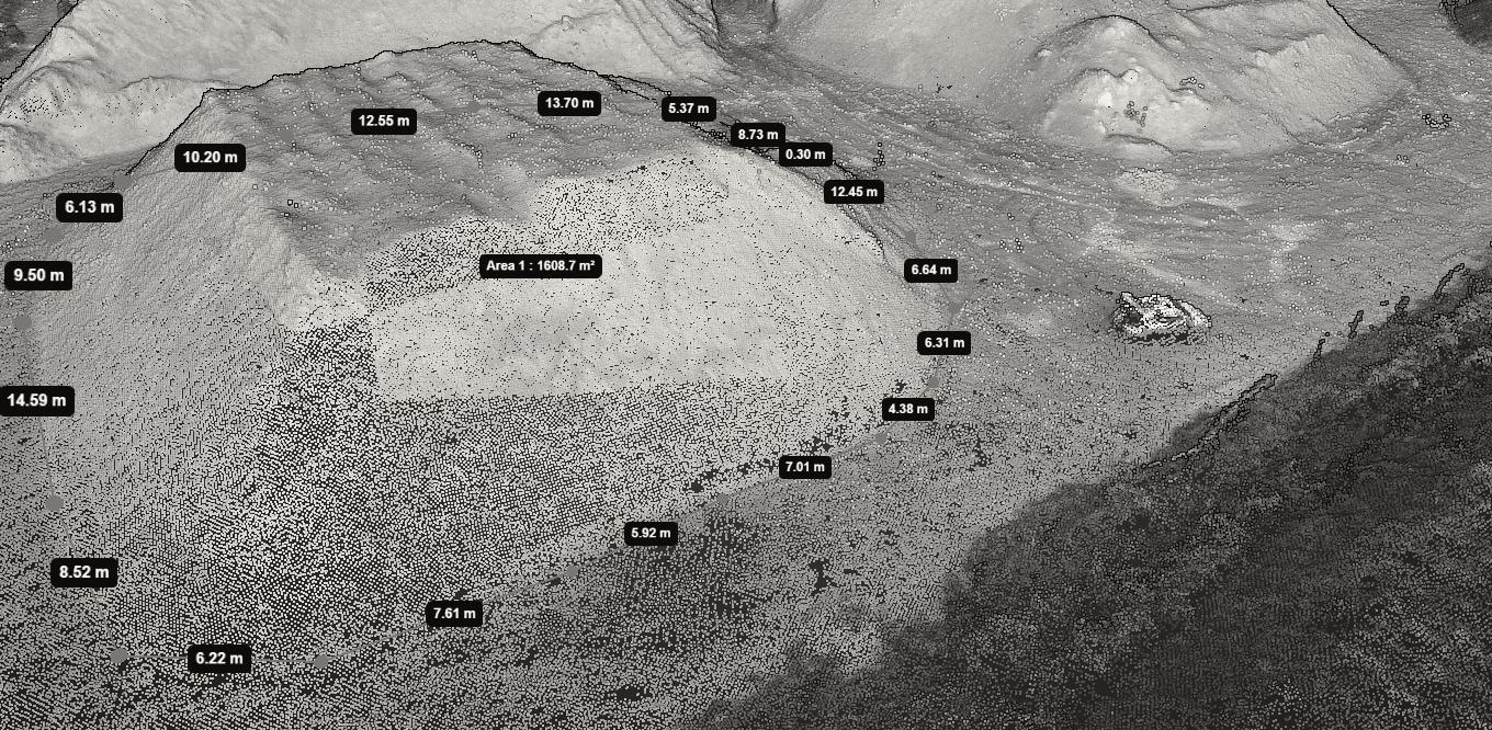
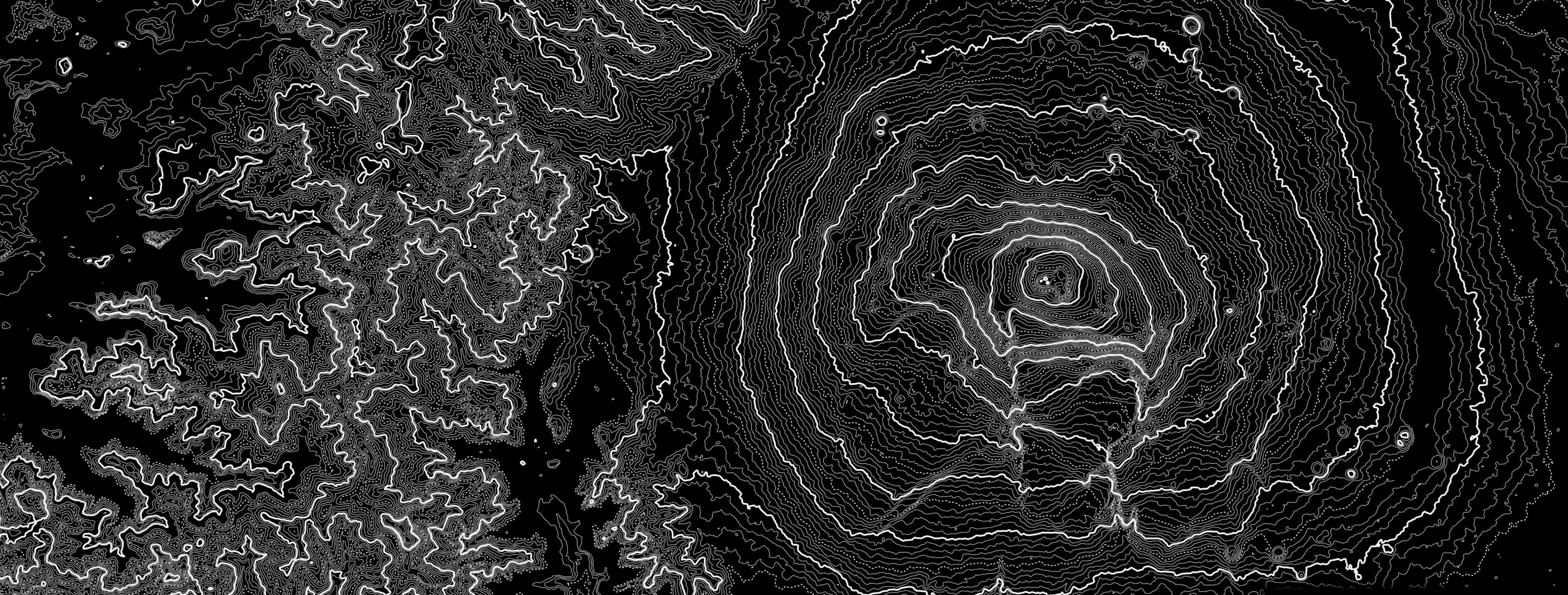
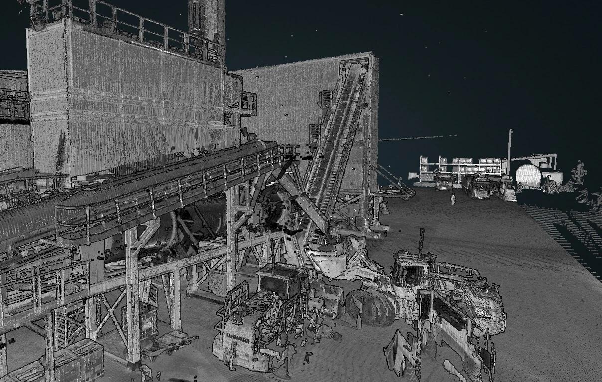
Photogrammetric Processing for Point Clouds, Orthophotos, and DEMs
Our service lets you automatically generate the following deliverables from your drone data:

Dense Point Cloud (LAS)

High-Resolution Orthophoto (TIFF)

Digital Elevation Model
* Entrust your imagery to our experts for a manual and precise photogrammetric processing, ensuring accurate and flawless deliverables.
Processing Rates
Estimate Processing Cost
This price includes generation and delivery on GEO4X of:
- 1 Point Cloud
- 1 Orthophoto
- 1 Digital Elevation Model
Prices are exclusive of VAT (20%)
Enjoy a 14-day free trial Pro subscription when you order a photogrammetry processing service. Cancel anytime.
Fast Turnaround to Accelerate Your Projects
72-Hour Lead Time
Average lead time: 72 business hours
2D/3D Navigation
Smooth navigation in 2D and 3D
Accurate Measurements
Distances, heights, and volumes
Secure Sharing
Secure sharing with your clients or collaborators
GIS/CAD Export
Exportable to GIS and CAD software
Customization
Ability to add notes and descriptions to each item
How Does Photogrammetric Processing Work on GEO4X?
Send us your aerial shots and calibration information (resolution, GCP, etc.).
Why have your drone photos processed by GEO4X?
Impeccable quality
Processing calibrated to industry best practices
Save time
We handle the entire pipeline for you
Simplicity
You send your photos; we deliver a project ready to use
Security
French hosting, GDPR-compliant
Expert guidance
A dedicated point of contact to answer questions and guide you
Optimized
Your data ready to analyze or deliver
Common Photogrammetry Use Cases
Topographic surveys
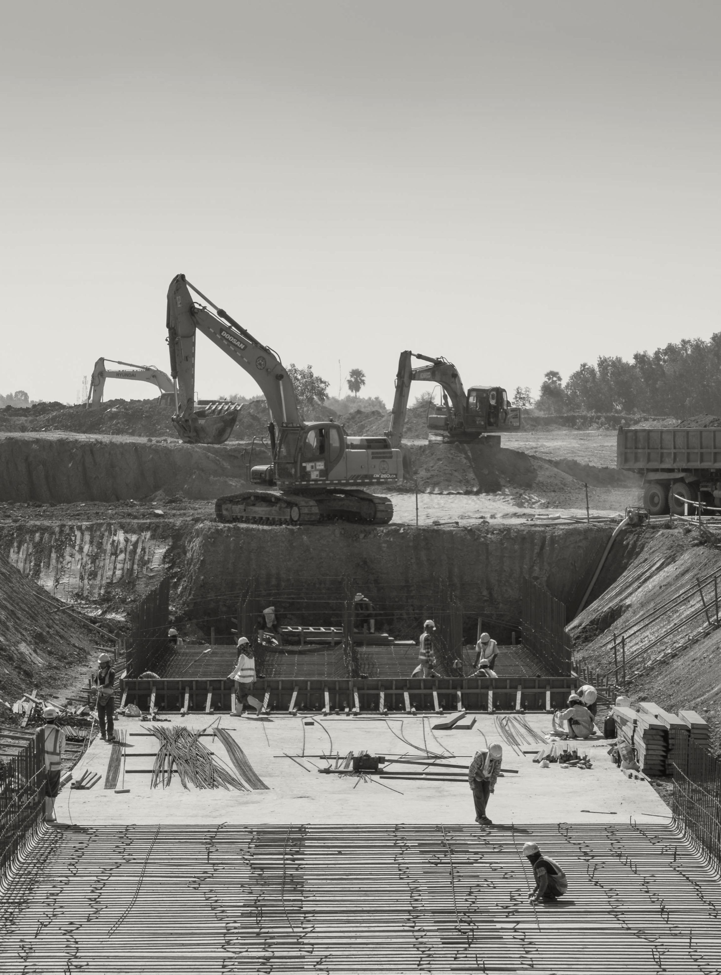
Construction site monitoring
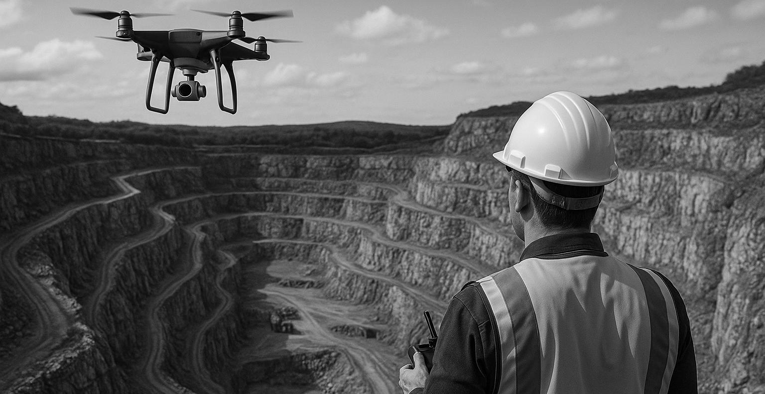
Quarry and mine inspections
3D site modeling
Environmental mapping
Stockpile volume measurement